
Commerce City ZIP Code Directory Coverage
The postal and Census sources do not describe the same map. USPS lists Commerce City destinations in 80022 and 80037. The Census Commerce City place and ZCTA view intersects 80022, 80216, 80229, and 80601. A ZCTA is a statistical approximation, so its presence in the place view does not prove that every address in that ZIP lies inside Commerce City. USPS address lookup is the final check for a particular street.
| ZIP or ZCTA | Commerce City relevance | Postal route | What to verify |
|---|---|---|---|
| 80022 | Primary Commerce City ZIP and Census ZCTA intersection | Commerce City Post Office, Dupont, and Adams City stations list 80022 | Street address and ZIP+4 |
| 80037 | USPS DMM destination listing for Commerce City | Exact station or PO-box routing was not located | Delivery assignment through USPS |
| 80216 | Census ZCTA intersects the Commerce City place | Denver-area postal routing | Municipal line and exact address |
| 80229 | Census ZCTA intersects the Commerce City place | Adams County and metro routing | City label and parcel boundary |
| 80601 | Census ZCTA intersects the Commerce City place | Brighton and Adams County routing | Whether the address is inside city limits |
The formal USPS destination list effective July 1, 2026 pairs 80022 and 80037 with Commerce City, CO 80022. That is useful postal evidence, but it is not a count of homes or a complete resident directory.
Commerce City ZIP 80022 Leads
The Commerce City Post Office is listed at 7351 Magnolia Street, Commerce City, CO 80022-9998. USPS also lists Dupont at 8096 Brighton Road, Commerce City 80022-5315, and Adams City at 6655 Brighton Boulevard, Commerce City 80022-2300. These station records explain why one ZIP can serve multiple local labels and facilities.
Use the postal code as a first narrowing clue, then test the complete address. The postal city can remain stable while the parcel sits near an annexation line, or a Census intersection can include nearby unincorporated land. The Commerce City USPS location record is the source for the post-office address and station context.
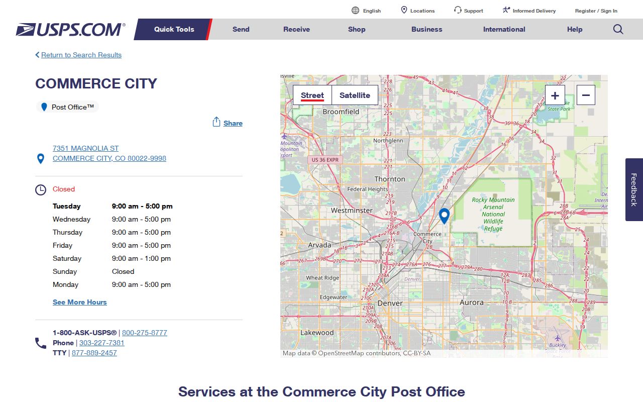
The location image anchors 80022 to a real postal facility without implying that every nearby parcel shares the same municipal status.
Commerce City ZIP 80037 Needs Checking
The USPS DMM L012 destination listing includes 80037 with Commerce City, CO 80022. The research did not locate a separate station description or a complete street list for 80037. Keep that distinction visible. A destination code can identify a postal routing relationship while the exact street assignment, ZIP+4, or PO-box service still needs the USPS lookup.
Do not turn 80037 into a resident count. If a property, permit, voter, or historical record uses 80037, save the complete address and the source date. Then compare the city GIS boundary and parcel identity. Postal routing is an address service, not a legal statement about city residence.
The official USPS ZIP destination list supplies the 80022 and 80037 pairing; its PDF is a routing reference rather than a household directory.
Commerce City ZIP and ZCTA Boundaries
The Census view for Commerce City intersects 80022, 80216, 80229, and 80601. Census ZCTAs approximate ZIP geography for statistical reporting. They do not assign mail, establish a parcel’s city limit, or prove that every person in the area belongs to Commerce City. The presence of 80216, 80229, or 80601 in the place view is therefore a prompt to check the address, not a final classification.
The Census Commerce City place and ZCTA view shows the overlap. The map can help explain why a search result appears under a neighboring postal label, but USPS remains the source for delivery assignment and city GIS remains the source for municipal geography.
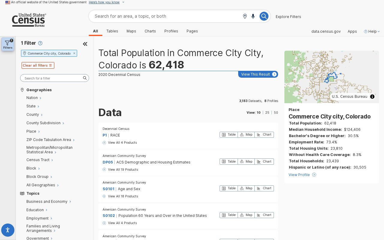
The Census image is best read as an intersection map. It should not be used to relabel an address that USPS or the city boundary layer places elsewhere.
Check a Commerce City ZIP by Address
The USPS ZIP Code Lookup provides a direct way to test a street instead of relying on a city-level guess. The by-city-and-state route exposes address and location controls, filters, radius choices, and sort options. Search a complete address when the goal is a parcel-level postal match. Search by city and state when building a first list, then verify each result before using it in a Commerce City resident lookup.
| City and State/ZIP | City/state or ZIP search for a broad postal location. |
|---|---|
| Street Address | Exact delivery-address field for a parcel-level check. |
| Location types | Post Office, National Retailer, Collection Boxes, Contract Postal Unit, kiosk, gopost, VPO, and all locations. |
| Filters | Sunday hours, hold-mail pickup, passport appointments, and location type. |
| Radius | 1, 3, 5, 10, 20, 50, or 100 miles. |
| Controls | Search, See All, Apply Filters; sort by distance or location type. |
The USPS ZIP Code Lookup is the address-level check for the Commerce City ZIP code directory.
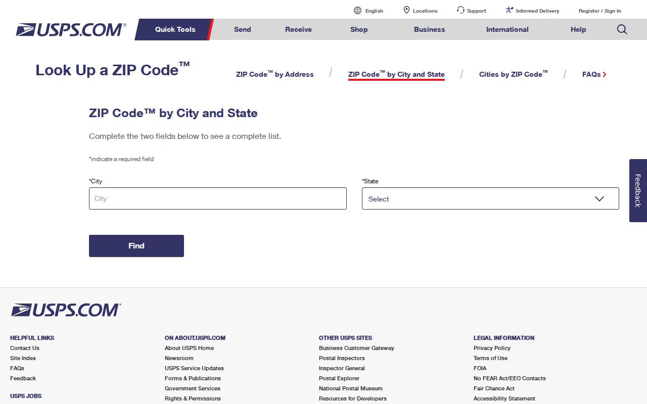
Use the lookup result as the postal answer, then retain the city and ZIP exactly as returned when comparing a property or historical record.
Finding Commerce City Residents by Postal Code
A postal geography workflow should narrow location before it names a source. Property, voter, permit, and foreclosure portals each use ZIP in a different way. A ZIP filter can locate a record inside a database, but it does not enumerate every household. Start with USPS, validate the city line with GIS, and then choose the record keeper whose fields match the question.
- Check the complete street address in USPS ZIP Code Lookup and save the returned ZIP and city label.
- Compare the address with Commerce City’s boundary, neighborhood, and annexation map layers.
- Use eTRAKiT for permits, the assessor for parcel or owner clues, or the voter route for an individual registration match.
- Request county or state voter data only through the documented office route, with confidentiality rules in mind.
- Once a ZIP narrows to a street, switch to the Commerce City street directory for parcel and deed work.
The result should state whether it is a postal match, a statistical overlap, a parcel match, a permit match, or a registration match. Those labels prevent a postal record map from becoming an unsupported list of people.
Commerce City Portals Filter ZIP
Commerce City eTRAKiT accepts ZIP in its public permit search, along with Permit Number, Address, Permit Type, Parcel ID, Applicant Name, Owner Name, and Status. Adams Foreclosure Search accepts ZIP with street, borrower or current owner, subdivision, status, and date fields. The Colorado voter lookup accepts ZIP only with first name, last name, and full birthday. The assessor advertises address and owner searches, but exact ZIP behavior was not confirmed during the Cloudflare block.
Each result is bounded by the source. eTRAKiT can return permits, inspections, reviews, conditions, and attachments. A foreclosure search can return public-trustee events. A voter response can confirm a current registration match. None is a complete Commerce City ZIP code directory of residents. Keep the database name and search date with the result.
The city’s Commerce City Maps, Data and GIS page explains city boundaries, growth, annexation, wards, zoning, and weekly official-data updates.
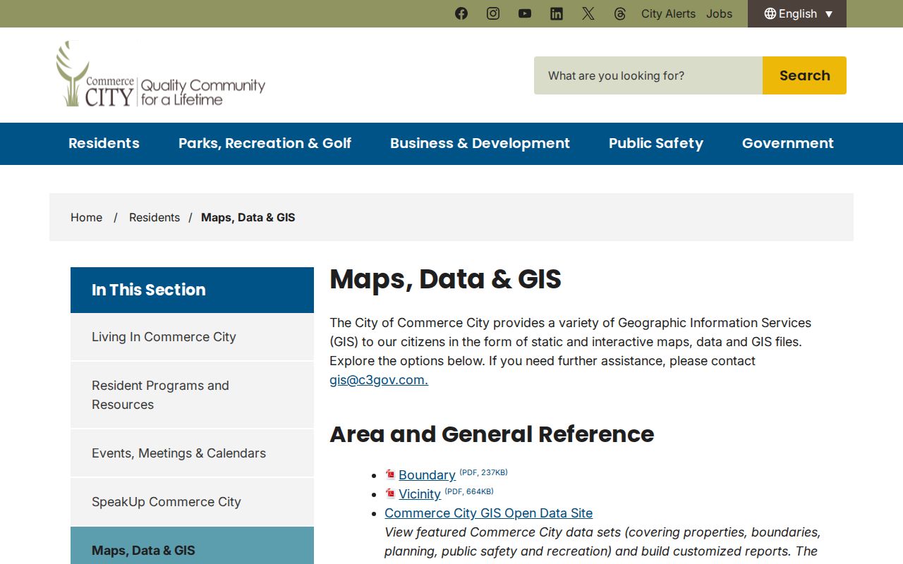
The map source helps separate postal ZIP geography from the city’s own boundary and neighborhood layers.
Commerce City ZIP and APN Fields
A ZIP result becomes useful only when it can be joined to the right address key. APN identifies a parcel. Account number identifies the county tax account. Situs address identifies the physical location. Mailing address identifies where notices are sent. Legal description identifies the lot through a subdivision, block, lot, or metes-and-bounds description. A ZIP is a delivery field that may attach to more than one municipal label.
The eTRAKiT sample APN 172113209004 and Turnberry Filing No. 6, Block 3, Lot 17 show how a modern project record can be anchored. A ZIP alone would not preserve that join. Use the parcel and legal description when a street name changes, an annexation occurs, or a neighboring place name appears in an older source.
Commerce City ZIP Boundaries Versus Limits
Postal boundaries, municipal boundaries, parcel boundaries, and ZCTA boundaries can all disagree. Commerce City’s history includes Adams City, Irondale, Commerce Town, and Derby, so an older record may use a place name that no longer appears on a current postal or GIS result. The city boundary PDF and ArcGIS annexation layer are the bridge for a historical address. The city’s neighborhood legend names Adams City, Derby, Dupont, Irondale, Reunion, and 56th Avenue Industrial Park among other planning areas.
- ZIP code versus ZIP+4
- A five-digit postal area becomes a more precise delivery code when four extra digits are added.
- PO-box ZIP
- A code may serve boxes or a postal facility without describing a broad street delivery area.
- Unique ZIP
- A code assigned to a single organization or narrow destination rather than a general neighborhood.
- Carrier route
- A delivery path used within postal operations; it is not a city boundary or resident roll.
The Commerce City annexation layer is a useful continuity check, while the city boundary map remains the source for the mapped municipal outline. If a postal label and city label differ, keep both and state which source supplied each one.
Boundary check. A postal directory can narrow a search, but USPS answers delivery, Census answers statistical overlap, and Commerce City GIS answers municipal geography. None should silently replace the others.
Commerce City ZIP Records Need a Custodian
When a portal does not expose the needed field, Colorado’s Open Records Act, C.R.S. §§24-72-201 et seq., provides a request route subject to exceptions. Ask the city, county, or state office for a defined record type, date range, address, parcel, or ZIP field. Commerce City accepts requests online, by fax, in person, or by mail. A request cannot override confidential voter, vital, ACP, juvenile, sealed, or protected court material.
Keep a research note that names the source, URL, date, city label, ZIP, boundary type, and result limitation. That small record makes a Commerce City ZIP code directory repeatable after an annexation, postal update, or portal change.