
Finding Commerce City Addresses Street by Street
A useful street directory walk has five joins. The address first identifies a parcel in the Adams County Assessor or GIS viewer. The parcel supplies an owner, account, APN, legal description, and nearby polygons. Landmark Web then searches the owner as a grantor or grantee because the county recorder does not offer a tract index. Commerce City eTRAKiT adds permit and inspection history, while a Colorado voter file or a dated criss-cross directory answers a different household question.
Keep the distinction clear. Ownership is recorded evidence. A voter match is registration evidence. A directory entry is a historical address clue. A permit applicant or contact has a project role. The same street name can cross city limits, postal labels, subdivisions, and older locality names, so the house number and legal description matter more than a street string alone.
- Enter the street number and street name in the Adams County property search, or begin in the county GIS viewer.
- Save the parcel or account number, situs address, subdivision, lot and block, and any stated mailing-address distinction.
- Open the owner in Landmark Web as a grantee, then move through earlier grantors one deed at a time.
- Search the same address or APN in eTRAKiT for permits, inspections, reviews, conditions, and attachments.
- Use the voter route or the library’s street-order volumes only for the question and time period those sources can support.
Commerce City Parcel Records Start With Assessor
The Adams County Assessor advertises parcel-number, account-number, owner, address, and county permit-number searches. The office appraises and records real and personal property, valuations, exemptions, notices, and protests. The live property endpoint returned a Cloudflare challenge in research, so the table names only fields the official county page advertised or described. Exact required status, street syntax, result-card fields, and current coverage cutoff were not located.
| Field or control | Type | Required | Street use |
|---|---|---|---|
| Parcel number | Text | Not stated | Joins map, account, and parcel history |
| Account number | Text | Not stated | Finds the tax account when parcel identifiers shift |
| Owner | Name text | Search advertised | Starts a recorder name search |
| Address | Text | Not stated | Finds the situs street location |
| County permit number | Text | Not stated | Bridges assessment and permit records |
| Account type or street range | Filter controls | Not stated | Narrows a broad street result when available |
Situs address means the parcel’s physical location. Mailing address means where tax notices go. A mailing address can point away from the parcel, so it is a clue, not proof of presence. Record both labels when a live card exposes them, then use the APN, plat, and legal description as the stable bridge.
Browse Commerce City Parcels in Adams GIS
The Adams County Basic and Advanced Web Maps support a click-and-browse street method. Choose the “I want to” search mode, enter a street number and street name separately, select a match in the left panel, click the parcel number, zoom, turn on Map Layers, and use Identify or Attributes. To inspect nearby parcels, minimize the attribute panel, pan to the adjoining polygon, click it, and repeat. The viewer is a map aid, not an official survey.
The county GIS information page explains that parcel data changes for splits, merges, subdivisions, and surveys. Current layer names, download controls, and any radius or export tool were not confirmed because the viewer endpoint returned a 403 during the unattended capture. A boundary line seen on screen should therefore be checked against a recorded plat or the recorder’s legal description when the line matters.
The Adams County GIS information page describes the informational-data warning. The related screenshot shows the source page that supports the parcel workflow.
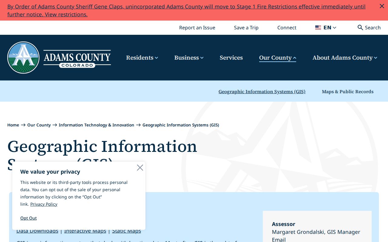
Use the map to discover the next parcel, then confirm its identity with the assessor, recorder, or a recorded plat rather than treating a visual polygon as a legal survey.
Commerce City Records Searchable by Street
A street directory is a chain of address-keyed sources, not a single list. The county maps and public-records page links the assessor, recorder, permits, code and land-use cases, survey plats, foreclosure search, sheriff, treasurer, and voter routes. Each source has its own coverage and privacy rules. The table keeps those roles separate.
| Record set | Keeper | What it shows | Access boundary |
|---|---|---|---|
| Property roll | Adams County Assessor | Owner, parcel, situs, possible mailing address, value clues | Public search advertised; live card gap |
| GIS parcel map | Adams County GIS | Adjacent parcels, IDs, boundaries, map layers | Free informational viewer |
| Deeds and liens | Adams Clerk & Recorder | Recorded parties, legal descriptions, dates, images | Grantor/grantee index; no tract index |
| Permits | Commerce City eTRAKiT | Project roles, inspections, reviews, conditions | Public current search; earliest year not stated |
| Voter data | State and county elections offices | Registration fields for an individual or requested file | Confidential fields and request rules apply |
| Street-order directories | Denver Public Library | Dated households and businesses by address | Collection and year specific |
The parcel number ties the assessor, GIS, permit, and deed trail together. The printed street string ties a historical directory to its era. A voter file adds a registration layer, but it is not proof of ownership or a complete household count.
The Adams County Maps and Public Records page is a practical routing hub when the next custodian is unclear.
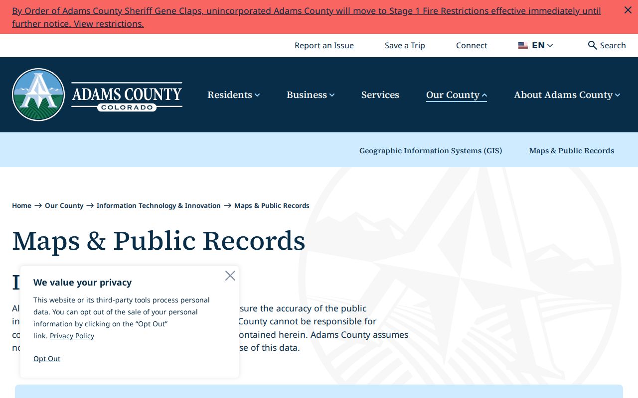
The county map hub helps keep building, code, foreclosure, survey, and election records from being folded into the wrong street record.
Read a Commerce City Permit by APN
eTRAKiT gives the Commerce City street directory a modern project layer. Search By offers Permit Number, Address, Permit Type, Parcel ID, Applicant Name, Owner Name, Status, and ZIP Code. Operators include Begins With, Contains, Equals, At Least, and At Most. A result can open Permit Info, Site Info, Contacts, Inspections, Conditions, Reviews, Area Info, Contractor Status, Project Info, Attachments Info, Master Model, and Green Building tabs.
Permit SFD231012 is a useful schema sample. It is a closed Residential New Construction / Detached Single-Family Dwelling record. It was applied for January 23, 2023, issued February 7, 2023, and finaled August 21, 2023. Site Info connects it to 12352 E. 101st Place, APN 172113209004, Turnberry Filing No. 6, Block 3, Lot 17. Parent RMSTR23-00003 and related CO23-00187 and MSC231012 records appear, with 49 inspections, 11 conditions, and 3 reviews counted. The sample shows how a street address and APN join to a project, not how to name everyone at a property.
The Commerce City permit sample is the source for that result-card pattern.
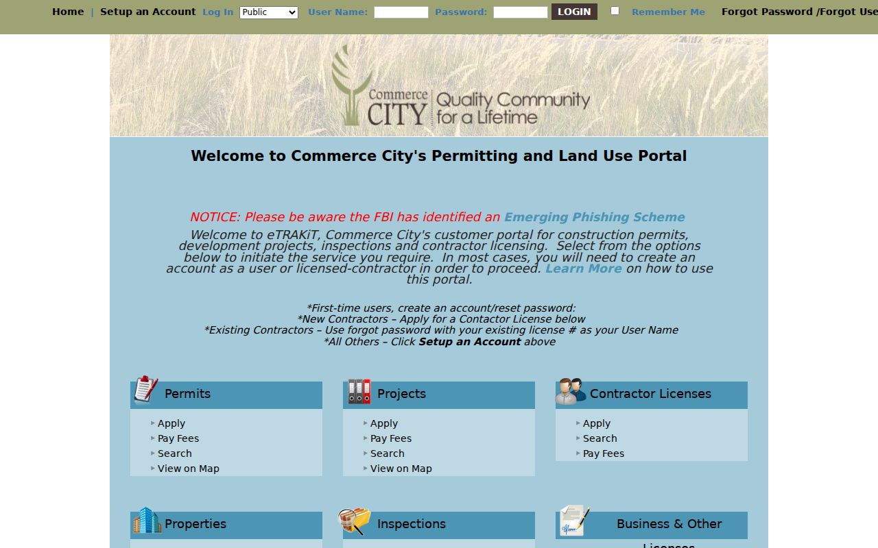
Permit dates can help place a building or addition in time. They should be paired with title and parcel records before a historical claim is made.
| Parcel | A mapped land unit identified by APN or account. |
|---|---|
| Situs address | The physical street location of the parcel. |
| Plat | A recorded map that relates lots, blocks, streets, and legal land divisions. |
| Criss-cross directory | A street-order source that links an address to a named household or business year. |
Trace Commerce City Deeds by Party
Adams Landmark Web starts with a party name. Select Both, Grantor, or Grantee; enter the name in last-name-first order; choose Starts With, Contains, Equals, or Sounds Like; and narrow by book type, document category, document type, and begin or end date. Results can show reception or instrument number, recording date, document type, book type, party role, legal-description text, consideration, and view, print, or download controls.
For a street-level chain, find the current owner in the assessor, search that owner as a grantee, open the purchase deed, copy the prior grantor, and search the prior party again as grantee. Repeat backward. A legal description survives a street-name change more reliably than a typed address. Adams does not state the online index cutoff on its official pages, so older work may require the recorder counter, county deed books or microfilm, State Archives, or a professional title search.
Recording staff at 4430 S. Adams County Parkway accept walk-ins, mail, FedEx or UPS, and e-recording. The July 1, 2025 recording fee is $43 per document under C.R.S. §30-1-103. A recorded instrument is evidence to examine, not a legal opinion about title.
Commerce City ZIP Filters Are Record Filters
ZIP is useful only inside the source that accepts it. eTRAKiT can return permits that match a ZIP. Adams foreclosure search accepts ZIP Code alongside borrower, current owner, street, subdivision, status, and date controls. The Colorado voter lookup uses ZIP with a name and birthday. None of those searches creates a complete list of people on a street. USPS validates delivery, the city GIS validates municipal geography, and Census ZCTAs describe statistical areas.
Commerce City postal destinations include 80022 and 80037, while the Census place view intersects 80216, 80229, and 80601. A street directory should save the exact ZIP returned for the address and note whether the record’s city label is Commerce City, Denver, Brighton, or another nearby place. If the ZIP narrows the search to a street, the parcel workflow should take over.
For the full named-street chain, use the Commerce City ZIP code directory only to resolve geography first, then return to parcel and deed keys.
Commerce City Street Names Change Across Eras
Older records may use Adams City, South Adams, Derby, Irondale, Commerce Town, or unincorporated Adams County rather than Commerce City. Adams City was laid out in 1903 and vacated in 1922. Irondale began as a 1924 settlement. Commerce Town incorporated on July 8, 1952, Derby was annexed in 1962, and home rule arrived in 1970. Those changes affect the locality line printed in a deed, directory, newspaper, census enumeration district, or court record.
Commerce City address plats and subdivision final plats connect assigned street names to lots. The city’s maps and GIS pages provide boundary, annexation, zoning, ward, and neighborhood layers. Use a plat, legal description, APN, neighboring house numbers, and an official boundary layer together. A modern street-string-only search can miss a record that is indexed under the older place name.
Read Commerce City Streets in Older Directories
DPL’s named local holdings include the 1962 South Adams County directory and Polk Denver Suburban volumes for 1969, 1970, 1971, 1975, and 1976. The volumes include street and avenue sections, classified business pages, and numerical telephone sections. DPL’s broader householder or criss-cross runs are in street order from 1924 through 2018, with 1924 through 1937 digitized. These are the historical street-directory sources that can show an address between deed events.
Write down the printed street spelling, house number, neighboring entries, occupation or business notation, and volume year. Then compare the alphabetical section for the same name. The 1949 XL Adams County volume lists people and trades but no telephone numbers. A directory disappearance can mean a move, death, non-listing, or a publication gap. It does not by itself identify the current household.
Commerce City Street Directory Limits
A public street directory cannot reveal every household member, a protected voter, a utility customer, a delivery recipient, or an unlisted phone user. The federal Driver’s Privacy Protection Act keeps motor-vehicle personal-address data outside the normal resident trail. A tax mailing address can differ from the parcel. A voter file has protected fields. eTRAKiT contacts are roles attached to a project. These limits remain even when several sources share a similar name.
Lawful use. Commerce City address records support personal, lawful research, family history, and civic curiosity. Do not use a street directory, voter field, deed, permit, or map result to stalk, harass, threaten, or intimidate another person.
When a street record is wrong, ask the custodian about its correction process. When a historical trail is thin, record the missing year, source, and search terms rather than filling the gap with an assumption. A careful street directory is useful because it shows both the evidence and the boundary around that evidence.